⚡ Key Facts
- Expanding Risk Zones: According to the U.S. Forest Service, over 44 million homes in the United States are located within the Wildland-Urban Interface (WUI), with California, Oregon, and Washington containing some of the fastest-growing WUI zones in the nation.
- The Insurance Crunch: As of 2024, major insurers have severely restricted or paused writing new policies in California, forcing over 350,000 property owners onto the state’s FAIR Plan as a last resort.
- Embers as the Primary Threat: Research from the Insurance Institute for Business & Home Safety (IBHS) demonstrates that up to 90% of homes ignited during wildfires are destroyed not by the main flame front, but by wind-borne embers traveling up to several miles ahead of the fire.
- The Critical Five Feet: CAL FIRE and the National Fire Protection Association (NFPA) now mandate or strongly recommend a "Zone 0" (0 to 5 feet from the structure) completely free of combustible materials, including organic mulch and woody vegetation.
For decades, West Coast residents viewed "fire season" as a distinct, late-summer window that closed with the arrival of autumn rains. Today, climate shifts, prolonged droughts, and dense forest fuel loads have rewritten the rules of survival. From the coastal chaparral of Southern California to the dense Douglas fir forests of western Oregon and Washington, wildfire risk is now a year-round reality. Preparing for this threat is no longer about packing a hasty bag when smoke appears on the horizon; it requires a systematic, structural, and financial overhaul of how we live alongside nature. By understanding the science of wildfire behavior and taking proactive, state-sanctioned steps, you can transition from a state of anxious vulnerability to empowered resilience.
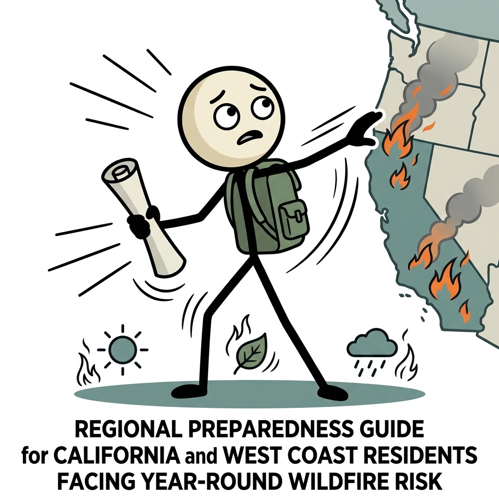
1. Demystifying the WUI (Wildland-Urban Interface) Zone
To understand your localized risk, you must first understand the Wildland-Urban Interface, commonly referred to as the WUI (pronounced WOO-ee). Federal agencies, including the U.S. Geological Survey (USGS) and the Federal Emergency Management Agency (FEMA), define the WUI as any area where human-made structures meet or intermingle with undeveloped wildland or vegetative fuels. This is not a static boundary; it is an expanding zone of high-stakes interaction.
The WUI is categorized into two distinct sub-zones, each presenting unique challenges for WUI wildland urban interface prep:
- The Interface: This occurs where housing developments directly abut wildland vegetation. There is a clear, sharp line of demarcation between the built environment and the natural landscape. In these zones, a fire can transition rapidly from a wildland crown fire to a structure-to-structure conflagration.
- The Intermix: This occurs where structures are scattered throughout a continuous wildland fuel bed. If you live on a multi-acre wooded lot in the Sierra Foothills or the Cascade Range, you are in the intermix. Here, wildland fuels surround your home on all sides, making defensive actions more complex and isolation during an evacuation highly likely.
How to Identify Your Local WUI Risk
Many homeowners do not realize they live in a high-risk WUI zone until they receive a non-renewal notice from their insurance carrier or see smoke. To assess your risk objectively, utilize public GIS mapping tools. CAL FIRE maintains the Fire Hazard Severity Zone (FHSZ) maps, which classify areas into Moderate, High, and Very High zones. Oregon residents can access the Oregon Wildfire Risk Explorer, while Washingtonians can utilize the Wildfire Risk to Communities portal developed by the U.S. Forest Service. Knowing your zone's classification dictates your legal obligations under state law, particularly regarding defensible space inspections and real estate disclosure requirements during property sales.
2. The West Coast Fire Insurance Crisis & How to Navigate It
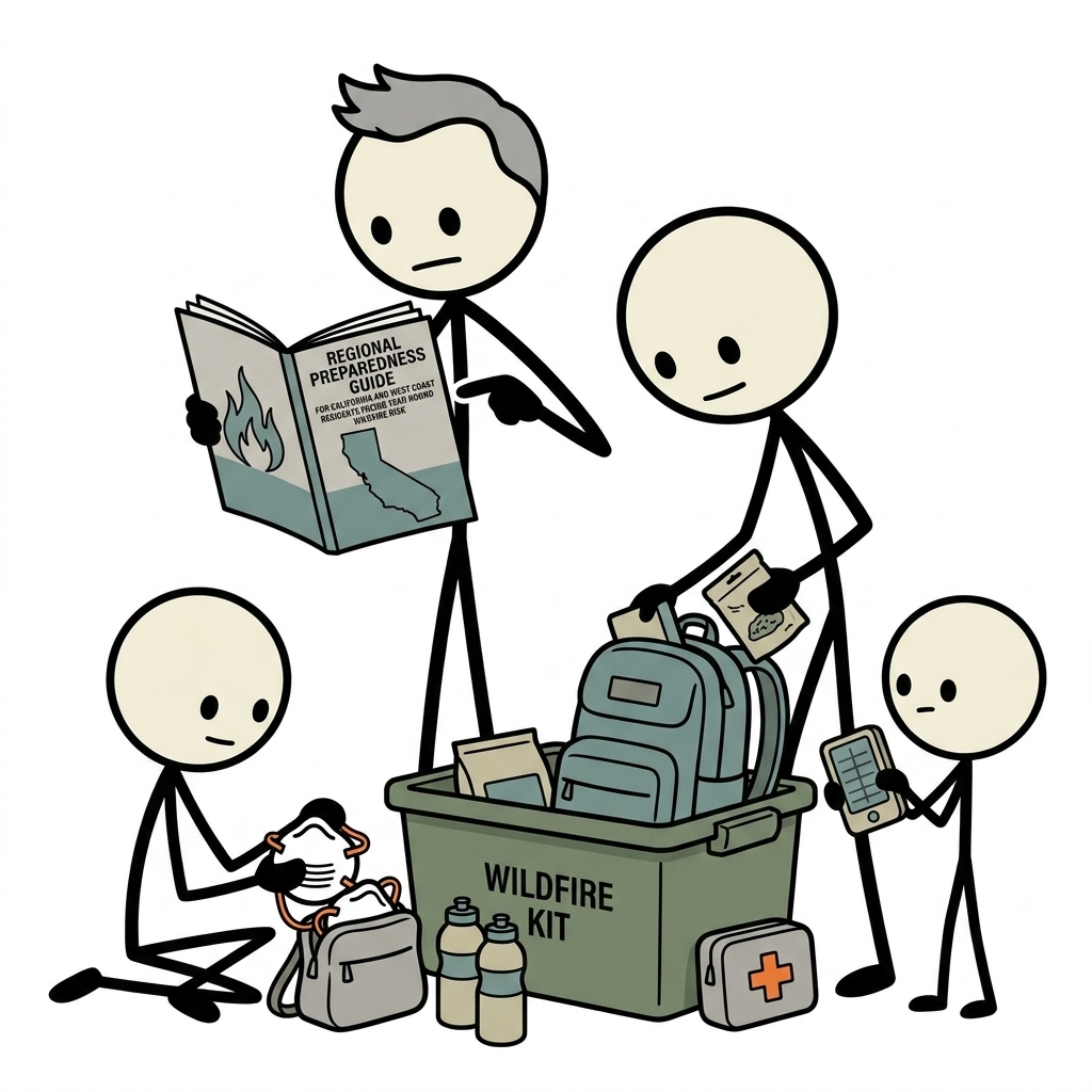
The physical threat of wildfire is matched by a mounting financial crisis across the Western states. Years of historic losses have driven major national insurers to restrict, non-renew, or completely withdraw coverage from fire-prone zip codes. Navigating the landscape of california fire insurance has become one of the most complex aspects of modern homeownership.
Understanding the Admitted vs. Non-Admitted Market
When a standard insurance carrier (the admitted market) non-renews your policy, you are faced with two primary alternatives: the surplus lines market (non-admitted carriers who specialize in high-risk properties but are not backed by state guaranty funds) or your state's insurer of last resort. In California, this is the California FAIR Plan; Oregon offers the Oregon FAIR Plan, and Washington has the Washington Fair Plan Association.
While these FAIR plans ensure that you can secure basic fire coverage to satisfy your mortgage lender, they are notoriously expensive and offer limited coverage. Typically, they only cover damage caused directly by fire and smoke. To protect against theft, liability, water damage, and other standard perils, you must purchase a companion policy, often called a "Difference in Conditions" (DIC) policy, which significantly increases your annual premium burden.
Lowering Premiums Through Mitigation
Fortunately, state regulators are pushing back to incentivize home hardening. In California, the Department of Insurance implemented the "Safer from Wildfires" framework. This regulation mandates that insurance companies offer premium discounts to homeowners who perform specific, verifiable wildfire mitigation steps. To qualify for these discounts and work toward a wildfire zone ready certification, homeowners must implement a suite of structural and environmental protections, which we outline below:
| Mitigation Action | Standard Requirement | Insurance/Safety Benefit |
|---|---|---|
| Class A Fire-Rated Roof | Asphalt shingles, metal, or tile | Prevents ignition from falling embers |
| Ember-Resistant Vents | Mesh size of 1/16 to 1/8 inch | Blocks embers from entering attic/crawlspaces |
| Zone 0 Clearance | 0-5 feet of non-combustible material | Eliminates fuel source directly touching the home |
| Multi-Pane Windows | Double-pane tempered glass | Prevents heat-induced glass breakage |
Before beginning any major retrofitting project, document your progress with high-resolution photos and keep all receipts. Contact your insurance agent to ask specifically for their "wildfire mitigation discount checklist" to ensure your upgrades align with their underwriting criteria.
3. Defensible Space & Home Hardening (The 3-Zone System)
If you live in a WUI zone, your home's survival depends on two concepts: defensible space (the management of vegetation surrounding the structure) and home hardening (retrofitting the structure itself to resist ignition). Together, these practices form the cornerstone of effective california wildfire preparedness.
The Three-Zone Defensible Space Strategy
State forestry agencies, including CAL FIRE and the Oregon Department of Forestry (ODF), organize defensible space into three distinct concentric rings radiating outward from your home. Managing these zones disrupts the path of a wildfire and provides a safe area for firefighters to defend your property.
Zone 0: The Ember-Resistant Zone (0 to 5 Feet)
This is the most critical zone, yet it is the most frequently overlooked. The goal of Zone 0 is to prevent wind-blown embers from landing in organic material directly adjacent to your home and igniting the structure.
- Actionable steps: Remove all organic mulch, bark, wood chips, and dead leaves. Replace them with non-combustible materials such as pea gravel, crushed stone, or concrete pavers.
- Vegetation: Remove all woody shrubs, vines, and trees within this zone. Ensure no tree branches overhang this 5-foot perimeter; prune branches back at least 10 feet from chimneys and rooflines.
- Storage: Never store firewood, patio furniture cushions, brooms, or plastic trash cans within Zone 0. Move these items to a protected area further from the home during periods of high fire danger.
Zone 1: The Lean, Clean, and Green Zone (5 to 30 Feet)
Zone 1 is designed to reduce the size and intensity of any fire approaching your home. The focus here is on elimination of dead fuel and maintaining high moisture levels in living plants.
- Actionable steps: Remove all dead plants, grass, and weeds. Keep lawns mowed to a maximum height of 4 inches and irrigate regularly to keep vegetation green and hydrated.
- Spacing: Create horizontal and vertical separation between plants. Single trees should be spaced so that their crowns are at least 10 feet apart at maturity.
- Pruning: Remove lower branches of mature trees up to a height of 6 to 10 feet from the ground (or 1/3 of the tree’s total height for smaller trees) to prevent ground fires from climbing into the canopy (known as "ladder fuels").
Zone 2: The Reduced Fuel Zone (30 to 100 Feet or Property Line)
Zone 2 acts as a buffer to slow down an advancing wildland fire and reduce its flame length before it reaches your immediate living area.
- Actionable steps: Clear annual grasses down to a height of 4 inches. Remove fallen leaves, needles, twigs, and cone debris, allowing them to accumulate to a maximum depth of no more than 3 inches.
- Fuel Breaks: Utilize natural and artificial fuel breaks—such as driveways, gravel paths, and stone retaining walls—to disrupt the continuity of fuel beds.
- Propane Tanks: If you utilize liquid petroleum gas (LPG) or propane tanks, clear all combustible vegetation within 10 feet of the tank and ensure the tank itself is located at least 30 feet from any structure.
Structural Home Hardening: Retrofitting for Survival
While defensible space addresses the surrounding land, home hardening addresses the physical vulnerabilities of your house. During a wildfire, embers will seek out any gap, crack, or combustible surface to establish a foothold.
- The Roof: Your roof is your home’s largest horizontal surface and is highly vulnerable to falling embers. Ensure your roof has a Class A fire rating. Keep gutters entirely clear of dry leaves and pine needles, and install a non-combustible gutter guard to prevent future debris accumulation.
- Ember-Resistant Vents: Standard attic and crawlspace vents are open doorways for embers. Replace traditional 1/4-inch mesh vents with specialized ember-resistant vents featuring 1/16-inch or 1/8-inch corrosion-resistant metal mesh. These vents are designed to block embers and radiant heat while still allowing proper home ventilation.
- Siding and Decking: Replace vinyl or untreated wood siding with ignition-resistant materials such as fiber-cement siding, stucco, or brick. If you have a wooden deck, ensure the area beneath it is completely cleared of vegetation and enclosed with wire mesh, or replace the decking material with composite boards rated for fire resistance.
4. Advanced Evacuation Planning: Zones, Routes, and Communications
When a wildfire threatens your community, a rapid, organized evacuation is your primary lifesaver. Panic is the enemy of safety; the only antidote to panic is a highly detailed, pre-rehearsed plan tailored for a west coast fire zone emergency prep scenario.
Understanding Evacuation Terminology
Emergency management agencies use standardized terms to communicate risk level. It is vital to understand what these terms mean so you can act immediately without waiting for secondary confirmation:
- Evacuation Warning (Voluntary): There is an imminent threat to life and property. Residents should begin preparing to leave, loading vehicles, and securing pets. If you have mobility challenges, large animals, or young children, you should evacuate immediately upon receiving a warning.
- Evacuation Order (Mandatory): An immediate threat to life exists. This is a lawful order to leave the area immediately. Roads may close quickly, and emergency services may not be able to reach you if you choose to stay behind.
- Shelter-in-Place: Used only when evacuation is no longer safe due to blocked escape routes. Residents are directed to remain inside a hardened structure, sealing all ventilation systems until the fire front passes.
The Digital Evacuation Toolkit
Modern evacuations rely heavily on digital emergency communication plan. Do not wait for a knock on your door. Sign up for your county’s emergency alert system (such as CodeRED, Everbridge, or AlertLA) which utilizes the Federal Wireless Emergency Alerts (WEA) system to send localized text alerts.
Additionally, familiarize yourself with Genasys Protect (formerly known as Zonehaven). This platform is widely adopted by emergency services throughout California, Oregon, and Washington. It divides cities and counties into specific, numbered zones (e.g., "LAC-E102"). Find your zone number today, write it down, and post it on your refrigerator. When emergency broadcasts announce evacuations, they will reference these specific zone numbers, allowing you to quickly determine if your immediate neighborhood preparedness network is affected.
The Ultimate Go-Bag Checklist
Your emergency "go-bag essentials guide" should be packed and stored in an easily accessible location (such as an entryway closet or the trunk of your car) year-round. According to guidelines from the American Red Cross and FEMA, a comprehensive wildfire Go-Bag must include:
📦 The 72-Hour Wildfire Go-Bag
- Critical Documentation: Physical copies of deeds, insurance policies, birth certificates, passports, and medical records stored in a waterproof, fire-resistant pouch. Keep a backup on an encrypted USB drive.
- Financial Reserves: At least $200–$500 in small-denomination cash. Power outages and cell tower failures will disable ATMs and credit card readers.
- Personal Protection: NIOSH-approved N95 or P100 respirators for every family member to protect against heavy smoke and airborne particulates. Goggles, heavy leather work gloves, long-sleeved cotton shirts, and sturdy boots are also essential.
- Communication Tools: A hand-crank or battery-powered NOAA Weather Radio, extra batteries, and a high-capacity portable power bank for mobile devices.
- Water and Nutrition: One gallon of Water Calculator per day, plus a 3-day supply of non-perishable, high-calorie food items.
- Medical Supplies: A comprehensive first-aid kit, a 7-to-14-day supply of all critical prescription medications, and spare eyeglasses or contact lenses.
- Pet Evacuation Kit: Leashes, harnesses, crates, food, water, and copies of veterinary vaccination records.
Establish a family communication plan designating an out-of-area contact person. During regional disasters, local phone lines are often congested, but text messages can often slip through when voice calls fail. Instruct all family members to text the designated contact to report their safety status.
5. Community Resources, State Programs, and Local Action
No homeowner is an island. While individual preparation is vital, your home’s safety is ultimately linked to the preparedness of your entire neighborhood. If your neighbor’s property is overgrown with dry brush, your hardened home remains at risk. Engaging with community-level programs is a highly effective way to scale up your mitigation efforts.
The Firewise USA® Program
Administered by the National Fire Protection Association (NFPA), the Firewise USA program provides a collaborative framework for neighborhoods to reduce wildfire risks. By forming a local committee, conducting a community wildfire risk assessment, and documenting local mitigation projects (such as neighborhood brush-clearance days), your community can earn official Firewise designation.
Beyond the obvious safety benefits of a coordinated defense, many insurance companies offer additional premium discounts to homeowners living within a certified Firewise USA community. This is a powerful tool to combat rising insurance costs collectively.
Local Fire Safe Councils
In California, local Fire Safe Councils (FSCs) are community-led non-profit organizations that work closely with CAL FIRE, local fire departments, and resource conservation districts. FSCs often secure state and federal grants to fund large-scale fuel reduction projects, community chipper days (where residents can place cleared brush at the curb to be chipped for free), and educational workshops. Oregon and Washington feature similar networks, such as the Oregon Fire Adapted Communities Network and Washington Fire Adapted Communities. Reach out to these organizations to tap into local funding opportunities and technical expertise.
Monitoring Air Quality and Environmental Health
Wildfire danger extends far beyond the path of the flames. Wildfire smoke contains microscopic particles (PM2.5) that penetrate deep into the lungs and enter the bloodstream, posing severe health risks, particularly to children, the elderly, and those with pre-existing respiratory or cardiovascular conditions.
To protect your household during a smoke event, utilize the AirNow.gov portal, a joint resource run by the EPA, CDC, and NOAA, to monitor the Air Quality Index (AQI) in real-time. During high-AQI days:
- Seal the Home: Close all windows and doors. Set your central HVAC system to "recirculate" and ensure you are utilizing a high-efficiency MERV 13 or higher air filter.
- Deploy HEPA Purifiers: Run portable HEPA air purifiers in frequently occupied rooms, particularly bedrooms.
- Create a "Clean Room": If you do not have central air conditioning, designate one room in the house as a dedicated clean room. Equip it with a portable air purifier, seal any window drafts, and minimize entry and exit.
Empowerment Through Proactive Action
Living on the West Coast means accepting that wildfire is a natural and necessary part of the ecosystem. However, accepting this reality does not mean accepting victimization. By systematically hardening your home, creating robust defensible space, securing proper insurance coverage, and establishing a detailed, rehearsed family emergency plan, you take control of your family's safety. Preparedness is not a weekend chore; it is an ongoing commitment to resilience. Start today by clearing your Zone 0, checking your evacuation zone on Genasys Protect, and connecting with your local Fire Safe Council. The actions you take now will define your safety when the next smoke column rises.
Frequently Asked Questions
What is a WUI zone and how do I know if I'm in one?
The Wildland-Urban Interface (WUI) is where developed land meets or intermingles with wildland vegetation — where the built environment meets fire-prone land. California's CALFIRE publishes Fire Hazard Severity Zone (FHSZ) maps at osfm.fire.ca.gov/divisions/wildfire-preparedness. High and Very High FHSZ designation means mandatory defensible space and building standards apply to your property.
How do I handle wildfire insurance in California's crisis market?
Many major insurers have left California's market, leaving homeowners in high-risk areas uninsurable through private markets. If private insurance is unavailable: California FAIR Plan provides basic fire coverage (not comprehensive homeowner's coverage). Supplement with a 'Difference in Conditions' (DIC) policy for liability, theft, and water damage. Document your home thoroughly for any claim — video inventory stored in the cloud.
What is the Firewise USA or Fire Safe program and should I join?
Firewise USA (National Fire Protection Association) is a community-based program where neighborhoods earn certification by completing annual home hardening projects. Fire Safe Councils exist at the county level in California for local resources, grants, and community projects. Participation connects you to grants for defensible space work and signals to insurers your community is proactively reducing risk.
How does the evacuation zone system work in California?
California uses a three-zone system: Zone 1 (Evacuation Warning) — prepare to leave, vulnerable residents should go now; Zone 2 (Evacuation Watch) — be ready to leave immediately; Zone 3 (Evacuation Order) — leave immediately. Sign up for your county's alert system (Wireless Emergency Alerts, CodeRED, Nixle) and know your zone designations at CAL FIRE's Zonehaven portal.
What specific preparations matter most for WUI residents?
In order of impact: (1) Defensible space — required by law in California (Cal Fire enforces it), (2) Ember-resistant vents and roof, (3) Go-bag ready to leave in under 2 minutes (fires can move faster), (4) Multiple evacuation routes memorized (roads can be cut off), (5) Signed up for all emergency notification systems. Pre-evacuate at Evacuation Warning level rather than waiting for orders.